Our goals are to enable you to
- report & manage your personal life list -- a list of all the species you have seen & identified
- map and graph where and when you made observations and findings
- contribute part or all of your life list to a collective database
- retrieve & map information from the collective database
- compare your observations with those of others
Thus, while you learn, enjoy nature, and keep personal records of where and when you observed organisms doing what,
you will also contribute knowledge to our global effort to understand nature and manage it more wisely.
Eventually we will allow you to associate your findings with sites that you will name and describe.
Each site will need latitude and longitude coordinates so that we can map it with other sites and generate species distribution maps.
Our Mapping guide explains
latitude and longitude and how to get and use these coordinates.
TopoZone.com kindly provides Discover Life users with maps and aerial photographs
for non-profit purposes. These can be accessed through the
Global Mapper or through the Report tool in the
IDnature guides.
Currently only the data entry component of Report is complete.
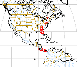
Ultimately we envision software that will teach you how to use latitude and longitude coordinates and build maps
such as the following.