Global MapperJohn PickeringKate Smith University of Georgia
Gladys Cotter
Bob Magill
Ed McNierney
News report for
|
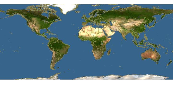 Click on image to enter Global Mapper and overlay plant bug species in the genus Tuxedo on host oak genus Quercus |
Updated: 3 March, 2006
|
The National Biological Information Infrastructure (http://www.nbii.gov) and a team of contributors now serve information on over 250,000 species through Discover Life (http://www.discoverlife.org). Their ambitious goal is to build an on-line encyclopedia of life to a million species by 2012. The encyclopedia serves high-quality identification guides, maps, images, and species pages by frequently updating and integrating information from numerous databases and websites. Contributors include the American Museum of Natural History, Bishop Museum, California Academy of Sciences, Field Museum, Kansas Natural History Museum, Los Angeles County Museum, Missouri Botanical Garden, Museum of Comparative Zoology, and Smithsonian Institution. The project's Global Mapper (http://www.discoverlife.org/20/m) is of particular interest to biogeographers. This web tool has an easy interface that enables you to compare distributional information on a large selection of satellite images, maps, and aerial photographs. Developed in partnership with TopoZone.com (http://www.topozone.com), the Global Mapper overlays species and higher taxa distributions on base images. These range in resolution from global satellite images to high-resolution local aerial photographs. TopoZone provides images from a 1:1,000,000 scale map of the world, topographical maps to 1:24,000 scale for the United States, and aerial photographs at 1 pixel per square meter resolution for over 90% of the United States. For 95 metropolitan areas in the United States, its aerial images are as fine-grain as .3 x .3 meter per pixel. With over 40 terabytes of base images, the mapper's fine-grain resolution for the United States is at least as good as and is typically much better than other web mapping services. Users can retrieve associated data records my clicking on map points. They query a gazetteer with over 7 million georeferenced locations worldwide.
The mapper can be called as a web service with customized URLs by any website.
Thus, for example, at a global scale
http://www.discoverlife.org/20/q?kind=Quercus,Tuxedo_
maps species of Tuxedo plant bugs from specimen records from the American Museum of Natural History over
Quercus records from Missouri Botanical Garden's Tropicos database and other sources.
The following does the same, but for a map of North and Central America: Getting data into a format for the Global Mapper is straight forward and not technically challenging. The mapper has multiple translators to import databases with non-standard field names and data formats. The simplest way to include your points is to export a tab-delimited text file from your database and then transfer the file to Discover Life. Alternatively, you can maintain data on your web site so that Discover Life can update it nightly. Database size currently ranges from investigator spreadsheets to Tropicos, which links over 2.7 million records to the Global Mapper each night. The mapper uses both latitude-longitude (decimal degrees, degree-minute-seconds, etc.) and UTM coordinates. While the goal is to only display high-quality data points, the maps are only as good as the data provided and some contain errors. There is a feedback mechanism linked to each point by which users can report errors directly to database managers. The maps also reflect the geographic location and collecting bias of contributors. We encourage IBS members to use the Global Mapper. Individuals wishing to add data to the mapper and share it through Discover Life should email somebody@discoverlife.org.
|
| Discover Life |